Gifting Made Simple
Give the Gift of ChoiceClick below to purchase a Bramalea City Centre eGift Card that can be used at participating retailers at Bramalea City Centre.Purchase HereHome
The Ridgeway: Two-way guide with 53 Large-Scale Walking Maps (1:20,000) & Guides to 24 Towns Villages - Planning, Places Stay, Eat
Coles
Loading Inventory...
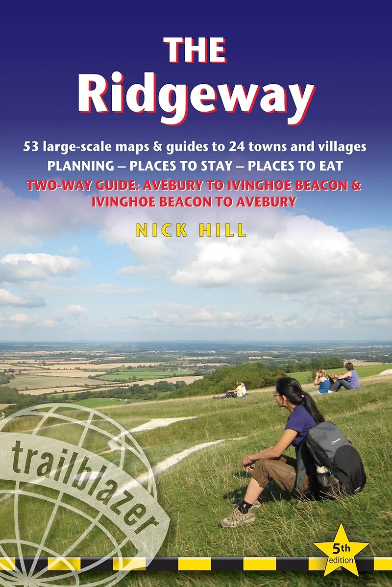
The Ridgeway: Two-way guide with 53 Large-Scale Walking Maps (1:20,000) & Guides to 24 Towns Villages - Planning, Places Stay, Eat in Brampton, ON
By None
Current price: $25.95
Coles
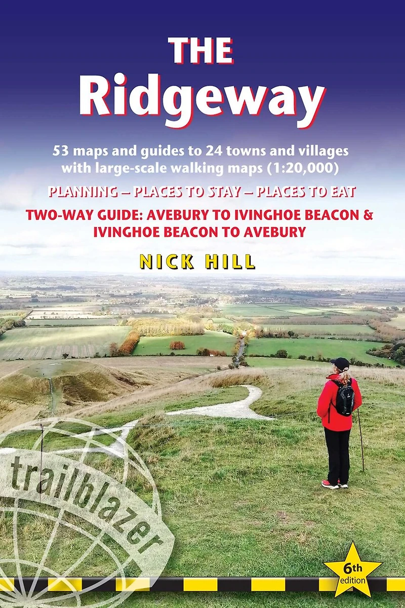
The Ridgeway: Two-way guide with 53 Large-Scale Walking Maps (1:20,000) & Guides to 24 Towns Villages - Planning, Places Stay, Eat in Brampton, ON
By None
Current price: $25.95
Loading Inventory...
Size: Paperback (2021)
*Product information and pricing may vary - to confirm current pricing, availability, shipping, and return information please contact Coles. In the event of a pricing discrepancy, the retailer's price will apply.
The go-to, all-in-one guide to walking The Ridgeway path.
Running from Wiltshire to Buckinghamshire, in southern England, this ancient trackway is Britain's oldest road. In this fully revised and updated, two-way edition all routes have been completely rewalked in both directions from Avebury to Ivinghoe Beacon near Aylesbury and Ivinghoe Beacon to Avebury.
Taking 5-7 days, this is not a difficult walk and the rewards are many: rolling countryside, Iron Age forts, Neolithic burial mounds, white horses carved into the chalk downs and picturesque villages.
Coverage includes: Marlborough, Avebury, West Overton, Avebury Stone Circle, Kennett and East Kennett, Foxhill, Liddington, Wantage, Bishopstone, Ashbury, Woolstone, Uffington, Goring, Streatley, Wallingford, Crowmarsh Gifford, Watlington, Princes Risborough, Tring, Ivinghoe Beacon
In this guide you will find:
53 detailed walking maps - the largest scale maps available - at just under 1:20,000 (8cm or 31/8 inches to one mile) these are bigger than even the most detailed walking maps currently available in the shops
Unique mapping features - walking times, directions, tricky junctions, places to stay, places to eat, points of interest. These are not general-purpose maps but fully edited maps drawn by walkers for walkers
Itineraries for all walkers - whether hiking the entire route or sampling highlights on day walks or short breaks
Detailed public transport information for all access points
Practical information for all budgets - what to see; where to eat (cafes, pubs and restaurants); where to stay (B&Bs, hotels, hostels, bunkhouses and campsites)
Downloadable GPS waypoints and what3words references