



Gifting Made Simple
Give the Gift of ChoiceClick below to purchase a Bramalea City Centre eGift Card that can be used at participating retailers at Bramalea City Centre.Purchase HereHome
The Cruising Guide to the Northern Leeward Islands: Anguilla to Montserrat
Coles
Loading Inventory...
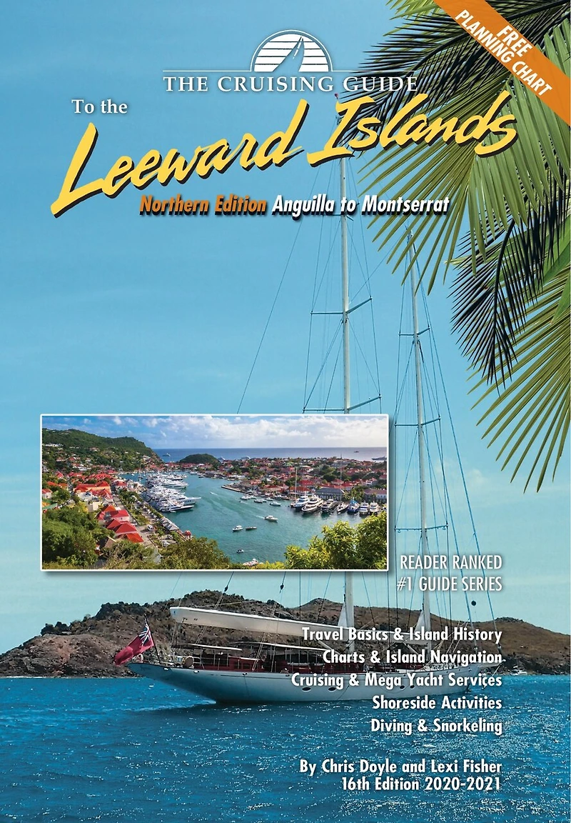
The Cruising Guide to the Northern Leeward Islands: Anguilla to Montserrat in Brampton, ON
Current price: $41.95
Coles
The Cruising Guide to the Northern Leeward Islands: Anguilla to Montserrat in Brampton, ON
Current price: $41.95
Loading Inventory...
Size: Spiral Bound Book
*Product information and pricing may vary - to confirm current pricing, availability, shipping, and return information please contact Coles. In the event of a pricing discrepancy, the retailer's price will apply.
This 16th edition (2020-2021) of The Cruising Guide to the Northern Leeward Islands covers the islands of Anguilla, St. Martin & Sint Maarten, St. Barts, Saba, Statia, St. Kitts, Nevis, Redonda, and Montserrat. These guides are an essential tool for all cruisers sailing this region. The authors spend months sailing these islands to update each edition. Included are over one hundred up-to-date color sketch charts, full color aerial photos of most anchorages, island pictures, and detailed shoreside information covering services, restaurants, provisioning, travel basics and island history. A free 17 x 27 inch waterproof planning chart of the northern and southern Leeward Islands is now included in each edition!
This 16th edition (2020-2021) of The Cruising Guide to the Northern Leeward Islands covers the islands of Anguilla, St. Martin & Sint Maarten, St. Barts, Saba, Statia, St. Kitts, Nevis, Redonda, and Montserrat. These guides are an essential tool for all cruisers sailing this region. The authors spend months sailing these islands to update each edition. Included are over one hundred up-to-date color sketch charts, full color aerial photos of most anchorages, island pictures, and detailed shoreside information covering services, restaurants, provisioning, travel basics and island history. A free 17 x 27 inch waterproof planning chart of the northern and southern Leeward Islands is now included in each edition!
You May Also Like





Find at Bramalea City Centre in Brampton, ON
Visit at Bramalea City Centre in Brampton, ON