Gifting Made Simple
Give the Gift of ChoiceClick below to purchase a Bramalea City Centre eGift Card that can be used at participating retailers at Bramalea City Centre.Purchase HereHome
Peddars Way and Norfolk Coast Path by A-z Maps, Perfect | Indigo Chapters
Coles
Loading Inventory...
Peddars Way and Norfolk Coast Path by A-z Maps, Perfect | Indigo Chapters in Brampton, ON
From A-z Maps
Current price: $19.99
Coles
Peddars Way and Norfolk Coast Path by A-z Maps, Perfect | Indigo Chapters in Brampton, ON
From A-z Maps
Current price: $19.99
Loading Inventory...
Size: 5 x 240 x 120
*Product information may vary - to confirm product availability, pricing, and additional information please contact Coles
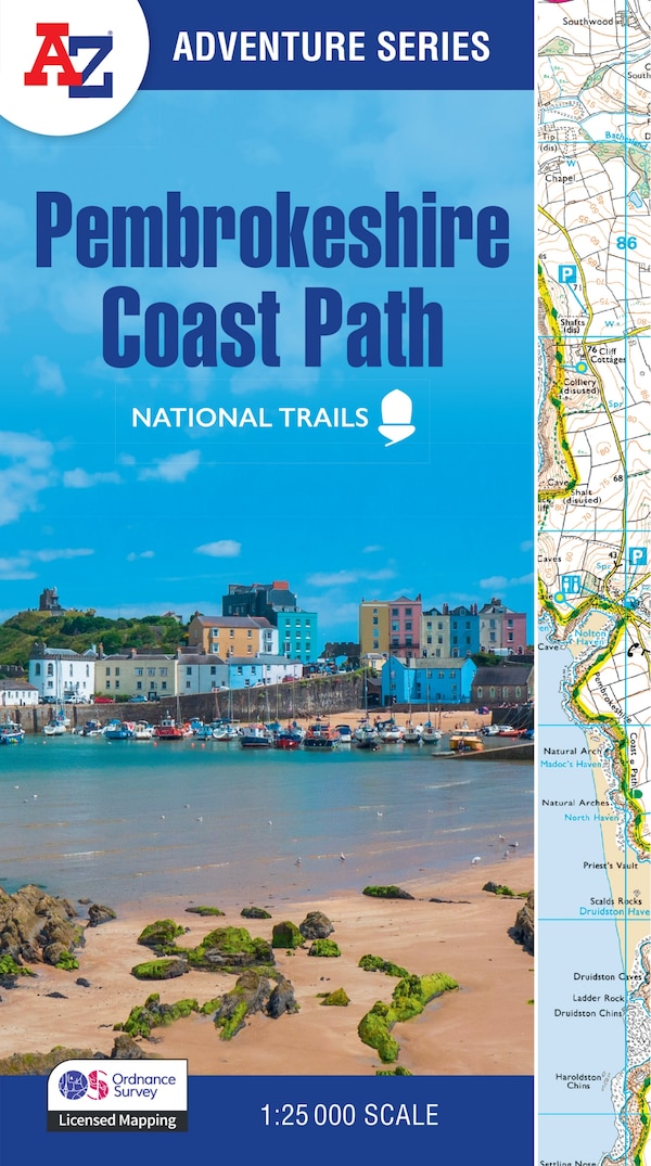
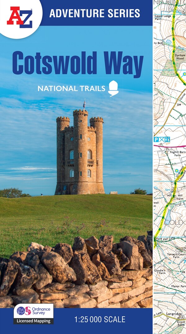
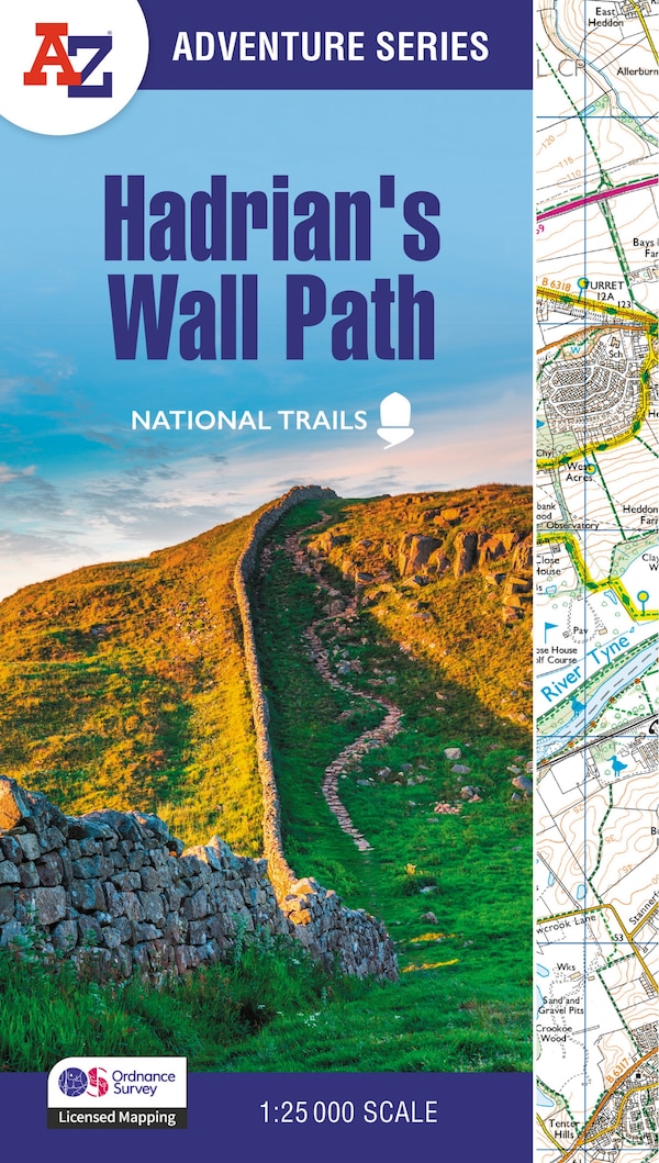
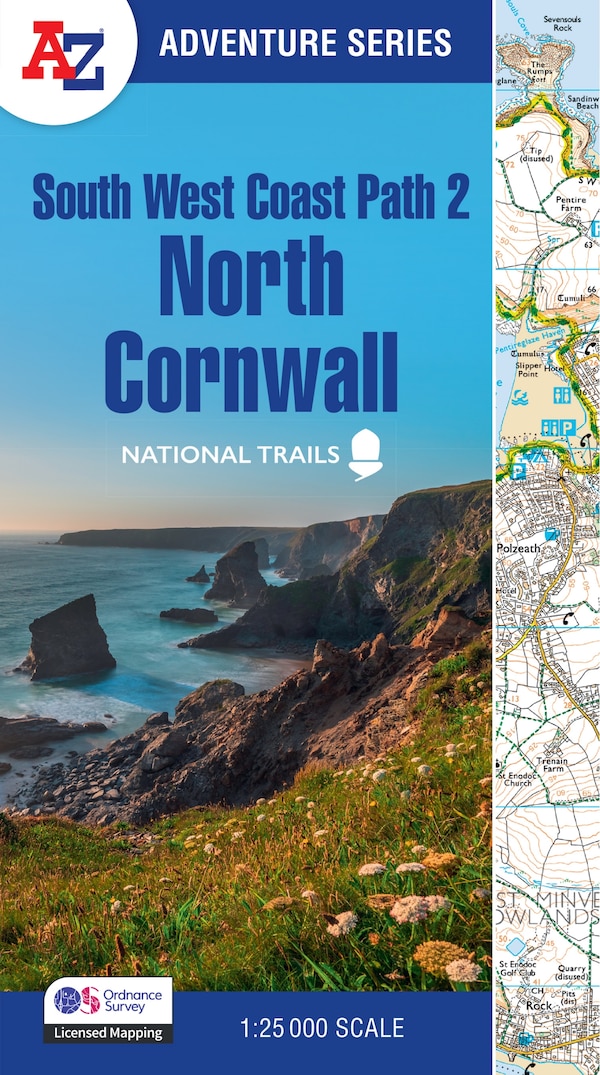
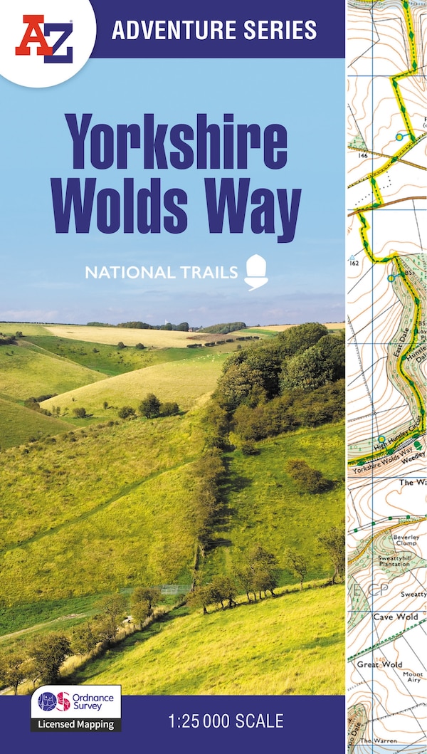
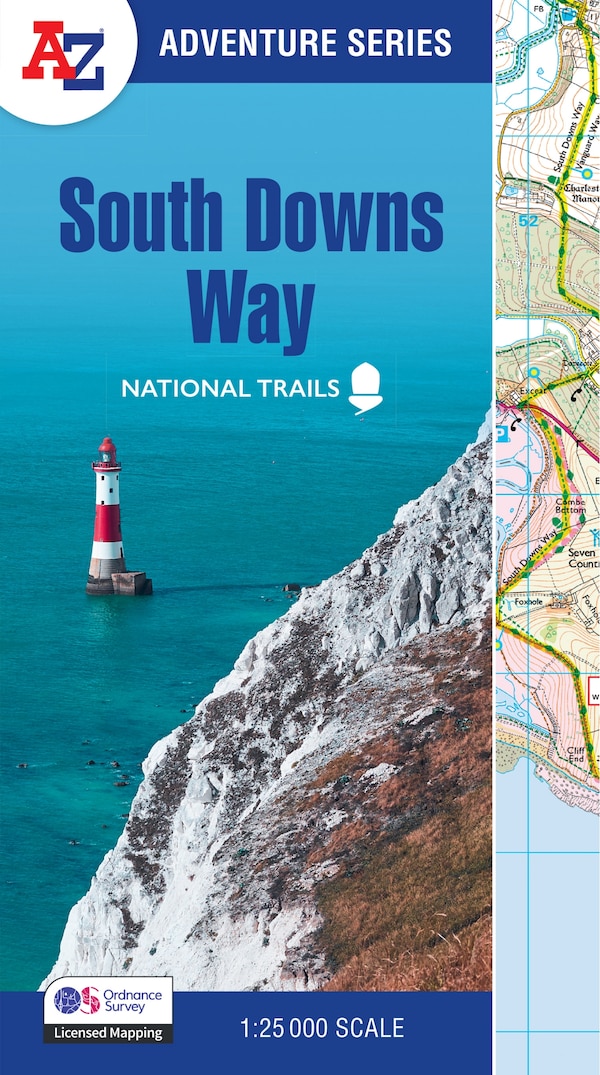
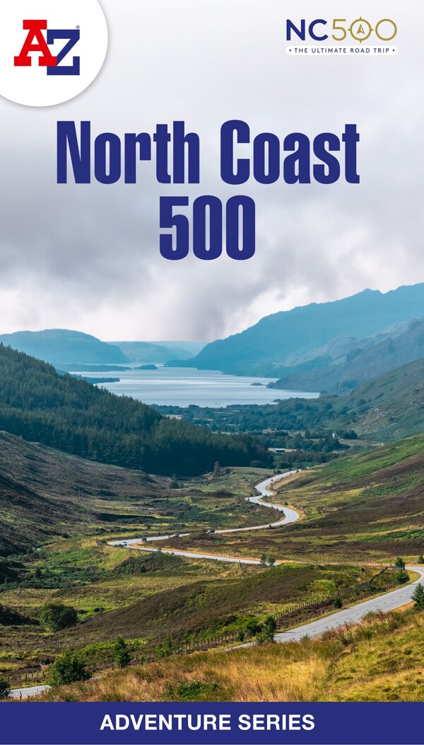
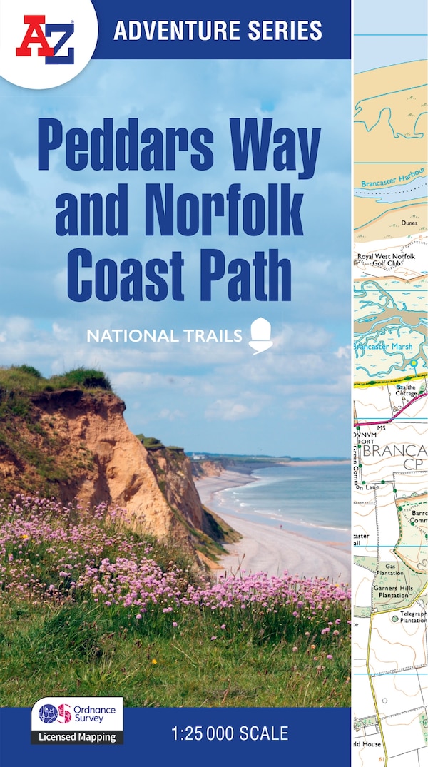
The A-Z Adventure Series uses Ordnance Survey mapping and is the perfect companion for walkers, off-road cyclists, and anyone wishing to explore the great outdoors. Together, Peddars Way and the Norfolk Coast Path form a 93 mile (150km) National Trail across west Norfolk and along its northern coast. The route is clearly shown on the map and passes through a rich landscape with fantastic scenery, places of interest, and an abundance of wildlife. This National Trail Map features detailed Ordnance Survey mapping at a scale of 1:25 000, providing complete coverage of Peddars Way and the Norfolk Coast Path. There is also a route planner included to show distances between places and the amenities available making it easy to plan your adventure. Additional features include:Information CentresHotels/B&BsYouth HostelsCampsites (seasonal opening)Public HousesShopsRestaurantsCafes (seasonal opening)Petrol StationsOther books available in the A-Z Adventure series include: Peak District (Dark Peak), Cotswold Way, South Downs Way, Pembrokeshire Coast Path, South West Coast Path and The North Coast 500. | Peddars Way and Norfolk Coast Path by A-z Maps, Perfect | Indigo Chapters
The A-Z Adventure Series uses Ordnance Survey mapping and is the perfect companion for walkers, off-road cyclists, and anyone wishing to explore the great outdoors. Together, Peddars Way and the Norfolk Coast Path form a 93 mile (150km) National Trail across west Norfolk and along its northern coast. The route is clearly shown on the map and passes through a rich landscape with fantastic scenery, places of interest, and an abundance of wildlife. This National Trail Map features detailed Ordnance Survey mapping at a scale of 1:25 000, providing complete coverage of Peddars Way and the Norfolk Coast Path. There is also a route planner included to show distances between places and the amenities available making it easy to plan your adventure. Additional features include:Information CentresHotels/B&BsYouth HostelsCampsites (seasonal opening)Public HousesShopsRestaurantsCafes (seasonal opening)Petrol StationsOther books available in the A-Z Adventure series include: Peak District (Dark Peak), Cotswold Way, South Downs Way, Pembrokeshire Coast Path, South West Coast Path and The North Coast 500. | Peddars Way and Norfolk Coast Path by A-z Maps, Perfect | Indigo Chapters