



Gifting Made Simple
Give the Gift of ChoiceClick below to purchase a Bramalea City Centre eGift Card that can be used at participating retailers at Bramalea City Centre.Purchase HereHome
Geographic Information Science And Systems
Coles
Loading Inventory...
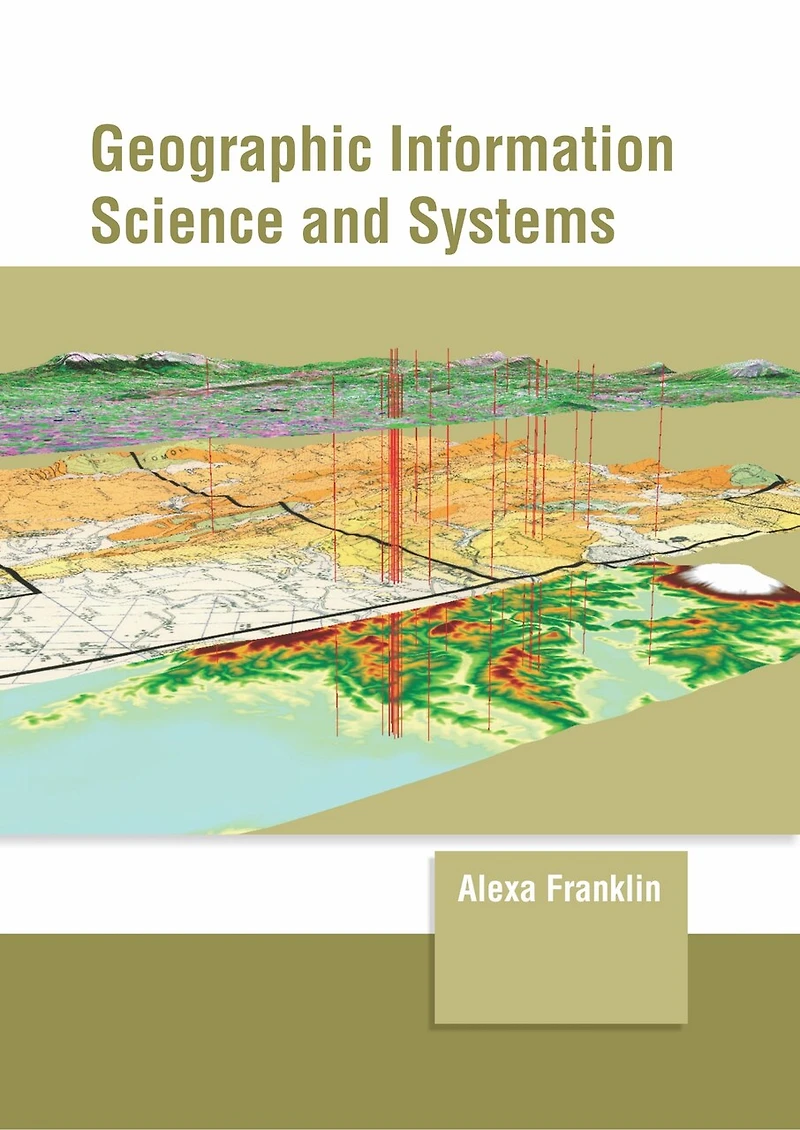
Geographic Information Science And Systems in Brampton, ON
Current price: $198.10
Coles
Geographic Information Science And Systems in Brampton, ON
Current price: $198.10
Loading Inventory...
Size: Hardcover
*Product information and pricing may vary - to confirm current pricing, availability, shipping, and return information please contact Coles. In the event of a pricing discrepancy, the retailer's price will apply.
Geographic information system is the system that is specifically designed to capture, store, analyze, manage and present spatial and geographical data. GIS applications function as tools which allow users to create interactive queries, edit data in maps, analyze spatial information and present the results of such operations. The science underlying the geographic concepts, applications and systems is termed as geographic information science. Modern GIS technologies make use of digital information, which is obtained through various digitized data creation methods. The most common method of data creation is digitization in which a hard copy map is transferred into a digital medium by a CAD program and geo-referencing capabilities. This book provides comprehensive insights into the field of geographic information system. Most of the topics introduced herein cover new techniques and the applications of this field. For someone with an interest and eye for detail, this book covers the most significant topics in this area.
Geographic information system is the system that is specifically designed to capture, store, analyze, manage and present spatial and geographical data. GIS applications function as tools which allow users to create interactive queries, edit data in maps, analyze spatial information and present the results of such operations. The science underlying the geographic concepts, applications and systems is termed as geographic information science. Modern GIS technologies make use of digital information, which is obtained through various digitized data creation methods. The most common method of data creation is digitization in which a hard copy map is transferred into a digital medium by a CAD program and geo-referencing capabilities. This book provides comprehensive insights into the field of geographic information system. Most of the topics introduced herein cover new techniques and the applications of this field. For someone with an interest and eye for detail, this book covers the most significant topics in this area.
You May Also Like








Find at Bramalea City Centre in Brampton, ON
Visit at Bramalea City Centre in Brampton, ON