Home
Collins, Map Of France by Collins, Maps | Indigo Chapters

Coles
Collins, Map Of France by Collins, Maps | Indigo Chapters
From Collins Maps
Current price: $12.99
Loading Inventory...
Size: 9 x 250 x 130
*Product information may vary - to confirm product availability, pricing, and additional information please contact Coles
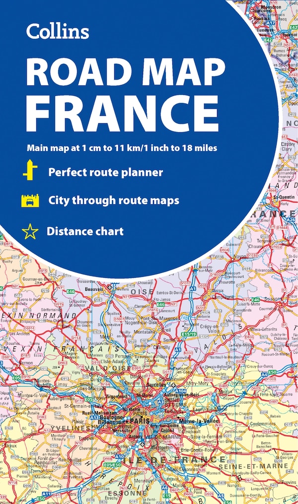
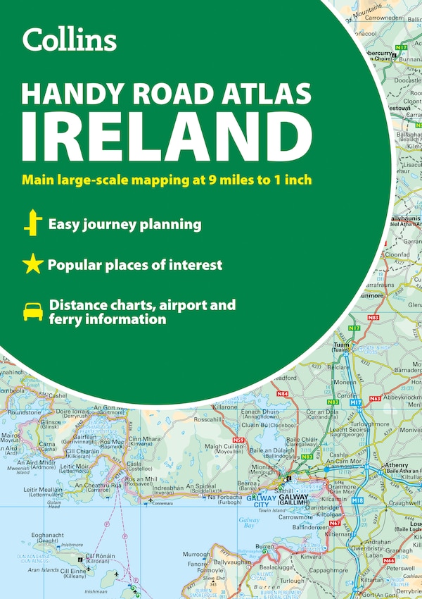
Discover new places with handy maps from Collins. A fully revised and updated colour road map of France at 18 miles to 1 inch / 11km to 1cm. The map shows individual departments by name. All cities, towns, roads, European route numbers, motorways and toll motorways are clearly shown, making it the ideal map for planning and route-finding. The map shows the road network in detail for easy route planning. Main features• Fully revised and updated Clear, detailed road network Through-route maps of Paris, Lyon, Marseille, Strasbourg, and Toulouse Distance chart giving distances in kilometres between main towns Key to department names and numbers, and list of regions Internet links to further information Full Index to place names Map key in English, French and German Area of coverageCovers the whole of France from the Belgian and German borders in the north to the Spanish border in the south, and from the Brest Peninsula in the west to the Italian and Swiss borders in the east. Also includes the island of Corsica. | Collins, Map Of France by Collins, Maps | Indigo Chapters