



Gifting Made Simple
Give the Gift of ChoiceClick below to purchase a Bramalea City Centre eGift Card that can be used at participating retailers at Bramalea City Centre.Purchase HereHome
Basic and Advanced Map Interpretation for Structural Geologists
Coles
Loading Inventory...
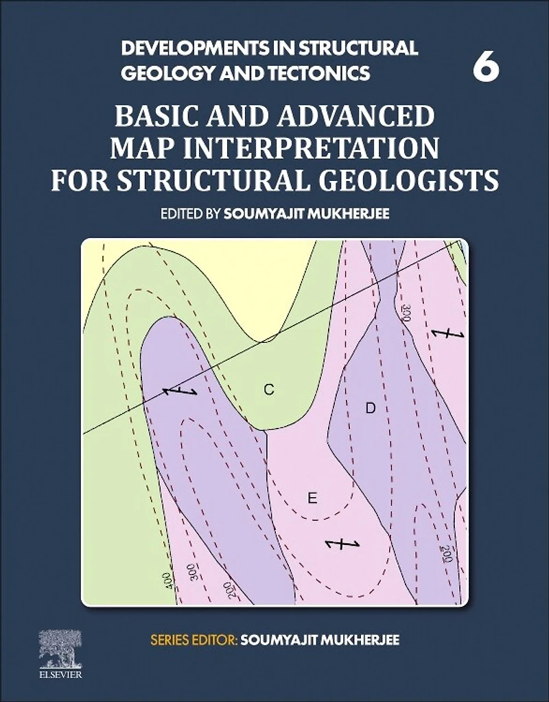
Basic and Advanced Map Interpretation for Structural Geologists in Brampton, ON
Current price: $222.50
Coles
Basic and Advanced Map Interpretation for Structural Geologists in Brampton, ON
Current price: $222.50
Loading Inventory...
Size: Paperback
*Product information and pricing may vary - to confirm current pricing, availability, shipping, and return information please contact Coles. In the event of a pricing discrepancy, the retailer's price will apply.
Basic and Advanced Map Interpretation for Structural Geologists, First Edition provides a highly visual manual with many maps and solutions. Covering rotational faults, listric faults, superposed folds, and other advanced geological formations, along with multicomponent formations that are the most difficult to interpret, this book guides those who use maps to see two-dimensional geological features in a three-dimensional space. It includes 21st century mapping capabilities such as LIDAR to provide problems and solutions for interpreting a variety of maps that are available but need specific skills to interpret. This will be a valuable resource for any students, academics, researchers or professionals who work with complex level maps that will help them understand how to interpret a variety of structural formations and especially multicomponent formations.
Presents a thorough guide on the interpretation of maps
Includes difficult maps involving superposed folds, rotational faults, listric faults and multi-component maps
Presents a self-learning guide of both problems and solutions, with no external instruction required
Basic and Advanced Map Interpretation for Structural Geologists, First Edition provides a highly visual manual with many maps and solutions. Covering rotational faults, listric faults, superposed folds, and other advanced geological formations, along with multicomponent formations that are the most difficult to interpret, this book guides those who use maps to see two-dimensional geological features in a three-dimensional space. It includes 21st century mapping capabilities such as LIDAR to provide problems and solutions for interpreting a variety of maps that are available but need specific skills to interpret. This will be a valuable resource for any students, academics, researchers or professionals who work with complex level maps that will help them understand how to interpret a variety of structural formations and especially multicomponent formations.
Presents a thorough guide on the interpretation of maps
Includes difficult maps involving superposed folds, rotational faults, listric faults and multi-component maps
Presents a self-learning guide of both problems and solutions, with no external instruction required
You May Also Like









Find at Bramalea City Centre in Brampton, ON
Visit at Bramalea City Centre in Brampton, ON