Gifting Made Simple
Give the Gift of ChoiceClick below to purchase a Bramalea City Centre eGift Card that can be used at participating retailers at Bramalea City Centre.Purchase HereHome
An Explanation of the Map Which Delineates That Part of the Federal Lands Comprehended Between Pennsylvania West Line the Rivers Ohio and
Coles
Loading Inventory...
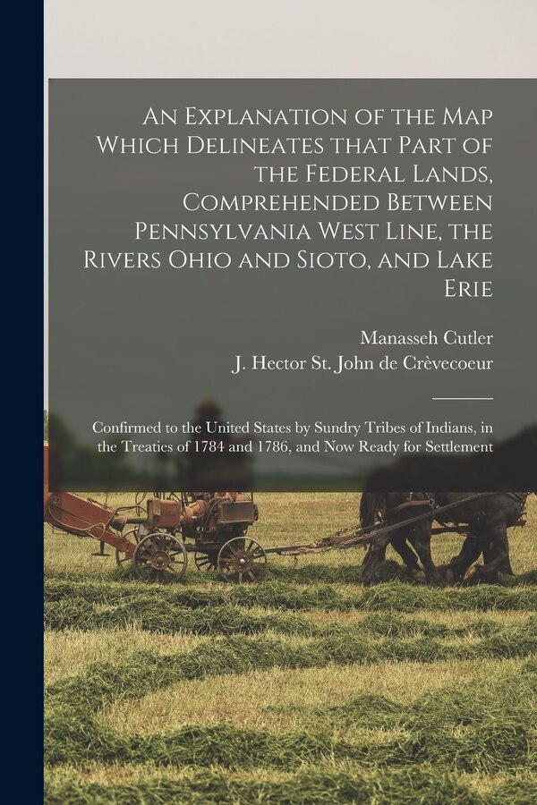
An Explanation of the Map Which Delineates That Part of the Federal Lands Comprehended Between Pennsylvania West Line the Rivers Ohio and in Brampton, ON
By Manasseh 1742-1823 Cutler
Current price: $16.94
Coles
An Explanation of the Map Which Delineates That Part of the Federal Lands Comprehended Between Pennsylvania West Line the Rivers Ohio and in Brampton, ON
By Manasseh 1742-1823 Cutler
Current price: $16.94
Loading Inventory...
Size: 0.08 x 9.21 x 0.15
*Product information may vary - to confirm product availability, pricing, and additional information please contact Coles
Confirmed to the United States by Sundry Tribes of Indians, in the Treaties of 1784 And... | An Explanation of the Map Which Delineates That Part of the Federal Lands Comprehended Between Pennsylvania West Line the Rivers Ohio and
Confirmed to the United States by Sundry Tribes of Indians, in the Treaties of 1784 And... | An Explanation of the Map Which Delineates That Part of the Federal Lands Comprehended Between Pennsylvania West Line the Rivers Ohio and